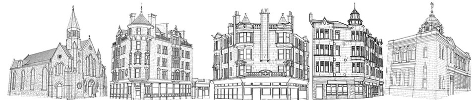
HOW HIGH STREET HAS CHANGED
Railway Wiped Out Ancient Landmarks
Old Market Cross was at “Bell O’ The Brae”
There is no part of Glasgow that has been more altered during the past eighty years than the east side of High Street between the Cross and Duke Street. Maps of the 17th and 18th centuries show a continuous line of buildings from the corner of Gallowgate to the Old Vennel. In McArthur’s map (1778) several closes are shown running eastward from High Street, between the Cross and the Old Vennel, but no street or wynd of any importance is indicated.
“College Green”
Above the Old Vennel, on the same side, was Blackfriars Wynd, which gave access to “College Green”. Then came the entrance to College Church. A block of closely built tenements stood between the New Vennel and the “Havannah” as it was familiarly called – a street running almost parallel with Duke Street – of a later date. There was no street running eastward from the High Street in 1778 between the Havannah and Drygate.
The first great change in the locality was the opening of Graeme Street in 1783, the new street being practically a development of the Old Vennel. It was named after Robert Graeme, the proprietor of the ground, who was a Sherriff Substitute in Glasgow.
About fifty years later McPherson Street was opened up, and still later the Improvement Trust acquired many of the old buildings subsequent to 1866 and cleared these away.
The operation of the railway companies in that quarter transformed the east side of the High Street beyond recognition. The space between Graeme Street and the Havannah, including the site of the college, was purchased and the old structures removed.
The first market cross of Glasgow stood at the “Bell O’ The Brae near the intersection of Drygate, Rottenrow, and High Street. This formed a new centre for extension, and gradually separate houses were erected south of this point and chiefly on the east side of the main thoroughfare to the river. No doubt this side was preferred because of the proximity of the Molendinar Burn, for the gardens attached to the houses would stretch eastwards to the rivulet, and the stream was often referred to in old charters as a boundary.
In The Fifteenth Century
The exact date when the market cross was moved from the Bell O’ The Brae to the foot of High Street is not recorded, but a charter dated 1426 alludes to “the Mercat Cross in St. Thanew’s Gait” (that is the Trongate), so that there must have been two crosses in Glasgow during the 15th century.
By HISTORICUS
Evening Standard 1935